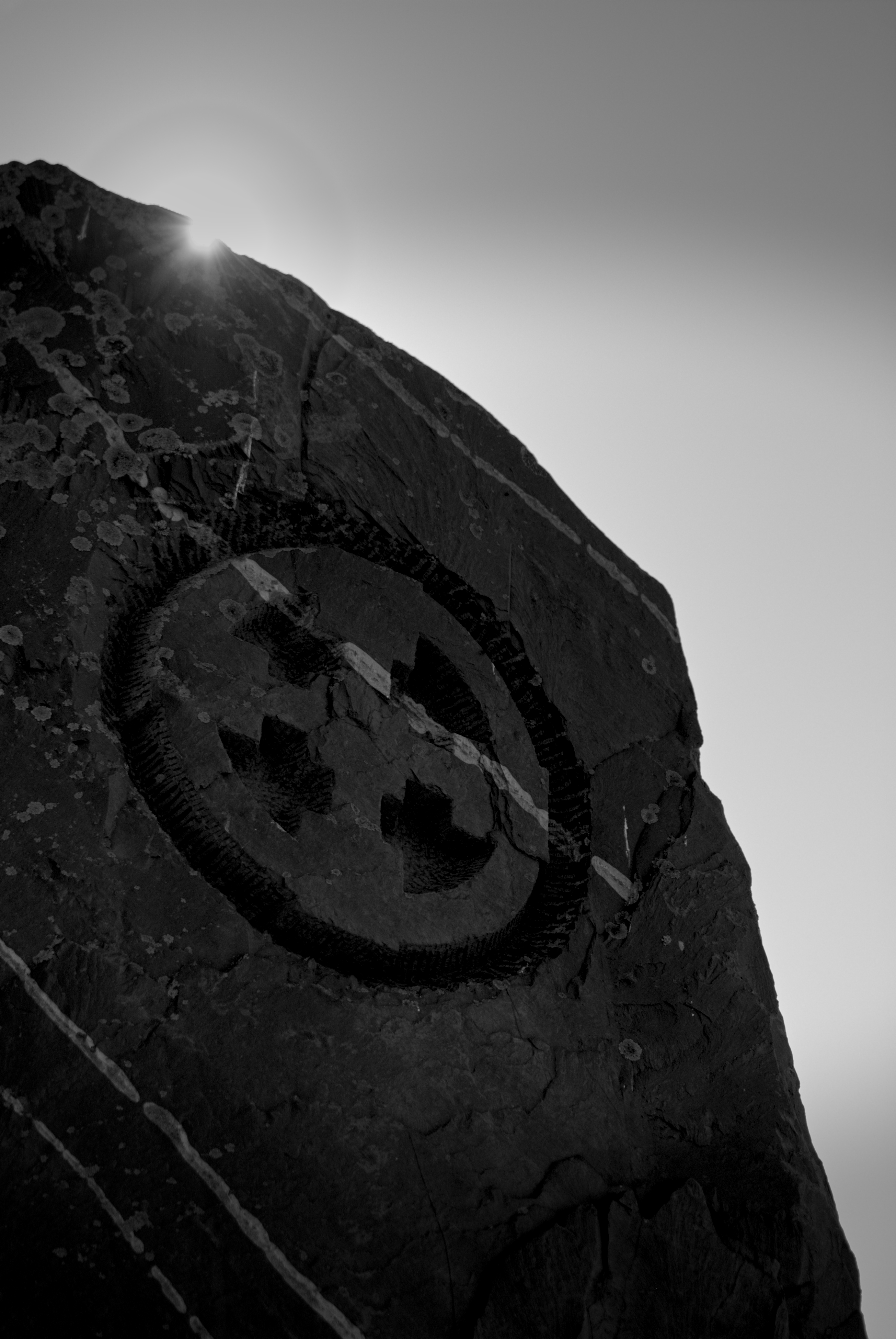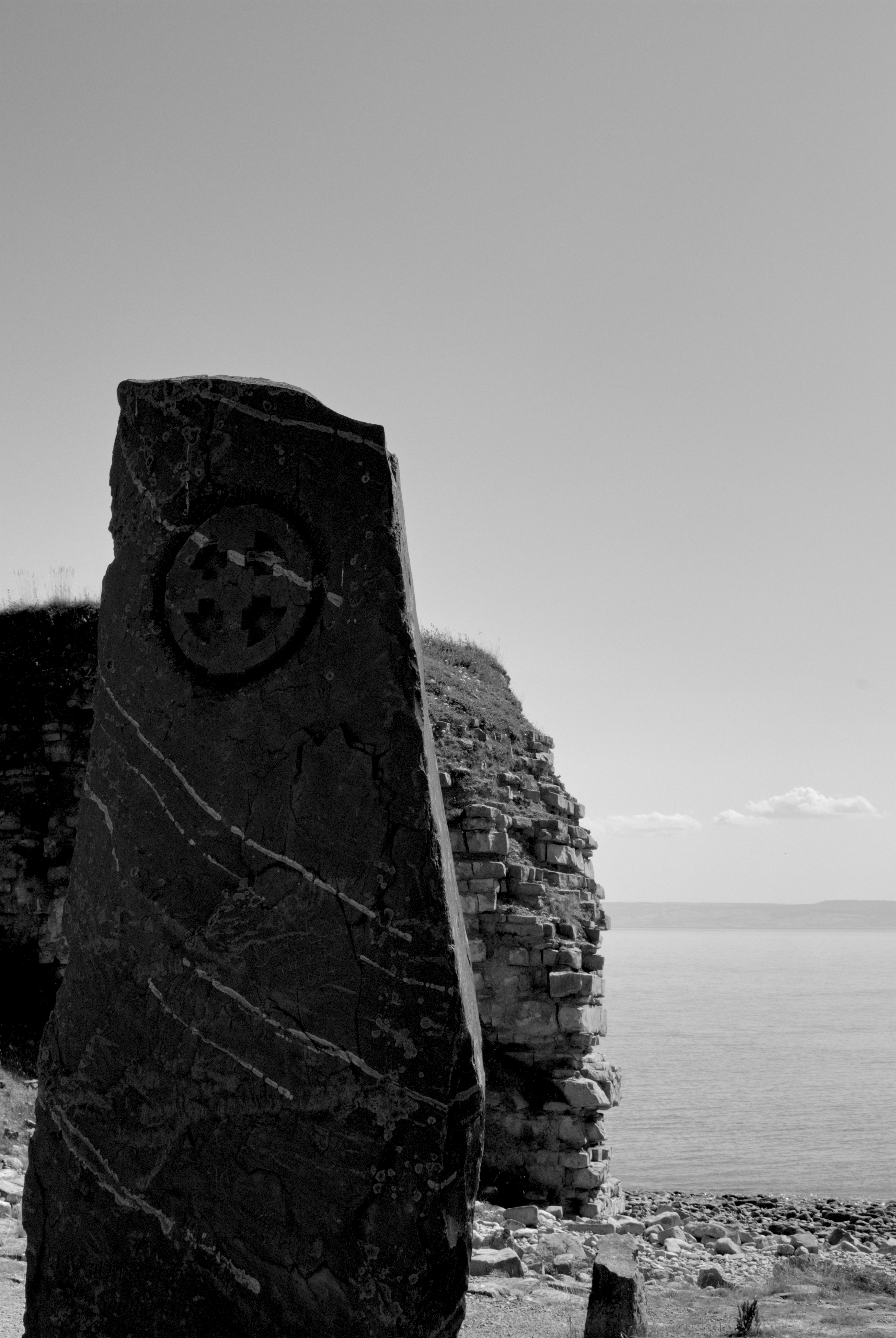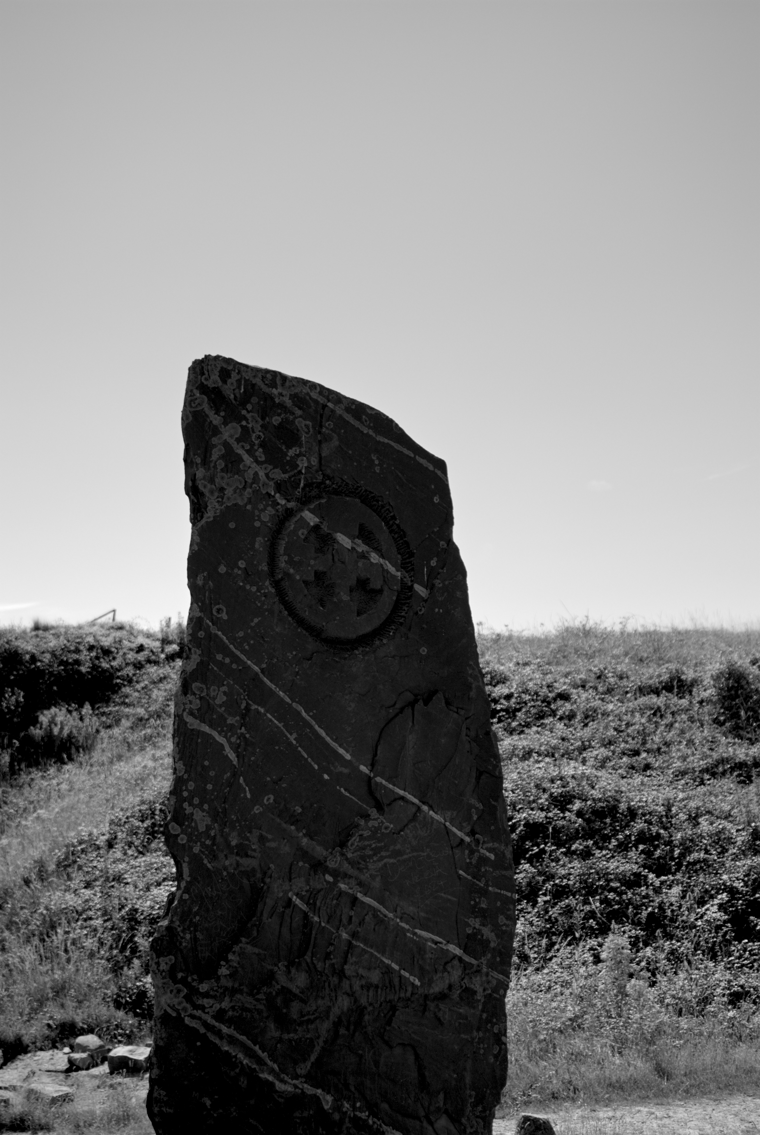

Whilst scouting locations for this project, I threw Google Maps’ little yellow man down randomly upon the coast. There, I found a coastal trail captured with a 360 camera by a Google user named William Young, uploaded in November of 2021. I clicked my way down the path slightly, and that’s when I saw it. Jutting up beneath my digital view was a colossal standing stone, centered in a minature stone circle.
After staring at it for an undignified period of time, the confusion set in. Not only had I not seen this as a landmark on the map I was just scowling, but my research into standing stones and other such things had never once pointed me towards this location. After a few Google searches, I was astounded at just how little attention the stone had received, and how few images of it has ever been posted. How exactly can a standing stone of such impressive proportions have a near non-existent online footprint?
The standing stone in question is located at Rhoose Point, only a thousand feet or so from the nearest house and only half a mile from Rhoose train station, which connects Cardiff Airport to Cardiff by way of the South Wales Valleys Line. It is also situated directly in front of the only two entrances to the beach (albeit two very rocky entrances) for about two miles. Rhoose Point is notable for claiming the southermost point of Wales, contesting Breaksea Point (only two and a half miles away) for the honour. That is, to say, if you have ever been to Rhoose Point or the beach in Rhoose, you would be challenged to miss it. So the question as to how exactly this standing stone remained largely unseen by the gross everpresent eye of the internet baffled me.
After some thought and research, I’ve come to think that age is the contributing factor. You may be inclined to believe that the Rhoose Point standing stone is very old, but that isn’t the case. The stone was erected atop reclaimed land in 2000 by Blue Circle Industries, a cement company that would be bought by Lafarge (a company recently in the news for financing ISIS, serious) the very next year. The stone’s relative infancy in contrast to its standing stone peers will have contributed to its internet obscurity. Local residents and visitors will undoubtably be familiar, but without the benefit of advanced age, the stone’s mark upon the local conciousness is surely more dimunative than had the stone stood atop Rhoose Point for generations. Receiving no attention from tourism boards, inclusion in history books or protections as a heritage site, and certainly far fewer childhood memories to be recounted of jumping atop the stone circle, or using the standing stone as a hiding place, or as a shield from approaching taggers or rogue water-gun fire.

.jpg)
Blue Circle Industries’ involvement in Rhoose began in 1983 after purchasing two sites from the Aberthaw and Rhoose Point Portland and Lime Company, who had been operating in the area since 1912. Only a short time later in 1987 that they had the Rhoose Works site demolished. It wouldn’t be until 1995 that the land at Rhoose point would see a largescale clean-up effort by Blue Circle Industries, following a three-year consultation period with residents and in conjunction with the Welsh Development Agency. Transforming industrial land posed a challenge due to contamination, especially considering the Turner asbestos cement plant was still standing; all asbestos had to be safely removed from the area before domestic habitation could be deemed safe, as did the other contaminants from the sites industrial history. Five hundred homes were within these initial plans, as well as infrastructure projects including roads, rail, industrial sites, a golf course, a pub and other public services. Few such planned projects beyond the clearly profitable ever came to fruition.
What did come to fruition however was this beautiful standing stone. A boastful thirteen foot tall (4 metres), and with knee-high, flat topped stones creating the surrounding stone circle. On the northern face of the standing stone is a large Celtic cross carving at the top, with an inscription denoting it as the contested southernmost point at the bottom. And on the southern face an inscription which reads:
RHOOSE POINT
Land Reclamation & New Landscape by Blue Circle Industries PLC
2000 AD
I attempted to mark the location on Google Maps, but someone else’s marking had been approved before mine (including a review containing similar wording to what I had posted on Reddit a few days prior). I’m glad that the site finally has map recongition so that others may enjoy it as I have. They labelled the site as simply “Standing Stone”, which I’ve attempted to rectify “Rhoose Point Standing Stone” (again awaiting approval).